Satellite technology enables more accurate measurement of the nitrogen problem
On 3 November, a map based on more precise measurements was presented during the nitrogen debate in the Dutch House of Representatives. By using satellite data instead of local monitoring stations, it is possible to identify much more accurately where the problem occurs. The map was created using the calculation method developed by Caeli, a specialist in data technology. Its technology can calculate nitrogen levels with an accuracy of up to one hectare.
Martin Smit on Caeli’s approach
Martin Smit, CEO of Caeli: “We provide governments and businesses with information to help tackle air pollution and climate change. Our algorithms show the quantities of nitrogen dioxide and ammonia with an accuracy of up to one hectare, and we can also examine historical trends dating back to 2017. By working with satellite data, we can map the entire surface of the Netherlands. This is considerably more precise than the data you often see reported in the news today.”
Outdated measurement methods make tackling nitrogen pollution more difficult
At present, the RIVM's calculation method plays a central role in the nitrogen debate. The calculation error that came to light earlier this week highlights a much broader problem in tackling nitrogen pollution: outdated methods. Controversial conclusions are based on measurements from approximately 70 monitoring stations. These stations measure nitrogen levels within a radius of up to 10 metres. This limited data is then used to map the impact of nitrogen across the entire Netherlands.
Accurate nitrogen measurements across the Netherlands
Caeli, a deep-tech start-up, was founded specifically to address the limitations of local measurements. Working with climate scientists, the company developed calculation methods that use modern satellite data instead of traditional technologies such as monitoring stations.
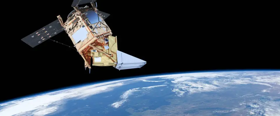
Martin: “Using our own algorithms, we translate scientific data into precise insights. For this, we use the TROPOMI satellite instrument, which was developed in part by KNMI and TNO. These measurements map the entire atmosphere above the Netherlands, whereas traditional monitoring stations only measure a relatively small surrounding area.”
A missed opportunity, with potentially major consequences
The nitrogen crisis did not come out of nowhere. The acid rain of the 1980s was also a consequence of nitrogen emissions. The results achieved through measures taken at the time — emissions fell by half during the 1990s — were based on the measurement data available back then.
Martin: “Technology has continued to evolve, and much more is now possible. We can see what is happening and why with far greater precision. Naturally, we should be making use of that technology. I am surprised that we continue to rely on the limited data from monitoring stations. It is like stubbornly sticking to your road atlas while there is a navigation system right there on your dashboard. That is a missed opportunity, with potentially major consequences.”